River Torrens
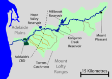
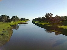
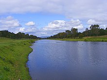
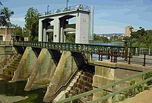
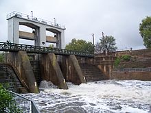
River in AustraliaThe River Torrens is the most significant river of the Adelaide Plains. It was one of the main reasons for the siting of the city of Adelaide, capital of South Australia. It flows 85 kilometres (53 mi) from its source in the Adelaide Hills near Mount Pleasant, across the Adelaide Plains, past the city centre and empties into Gulf St Vincent between Henley Beach South and West Beach. The upper stretches of the river and the reservoirs in its watershed supply a significant part of the city's water supply.
Read article
Top Questions
AI generatedMore questions
Nearby Places
Pioneer Women's Memorial Garden (Adelaide)
Adelaide Festival of Ideas

Elder Park
Public park in Adelaide, Australia

Adelaide University Boat Club

Torrens Parade Ground
Historic site in Adelaide, South Australia
University Oval, Adelaide

Park 12
A park in the Adelaide Park Lands

Illuminate Adelaide
Annual festival in Adelaide, South Australia

